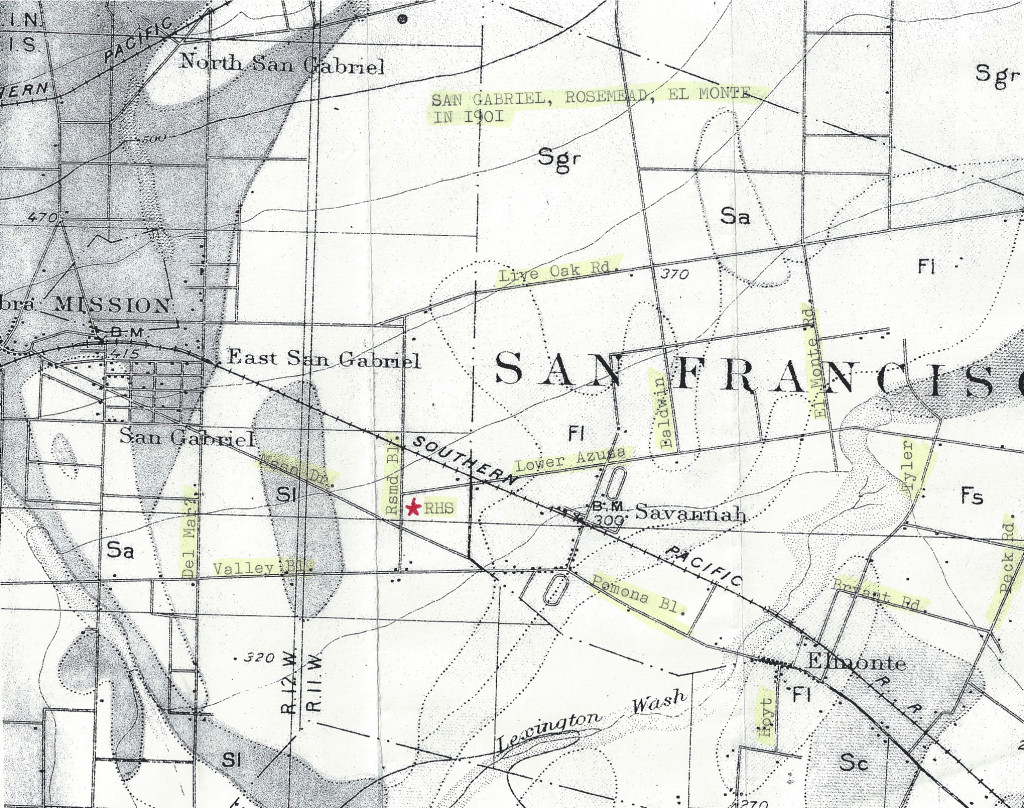
The area known today as Rosemead was an unremarkable scrubland around the time the first Mission San Gabriel was founded in 1771. All of the San Gabriel Valley was claimed by Mexico and administered by the San Gabriel Mission. Prior to the arrival of Spanish missionaries, the land was sparsely populated by the Gabrieleno Indians, who lived near water sources such as rivers, streams, and marshes where wild game was plentiful.
The center of society and commerce was centered around the San Gabriel Mission circa 1800 and then later, the small settlement of El Monte came into being. Rosemead’s first white settler was John Guess and his wife Harriet. They arrived in the area in 1852 from Arkansas.

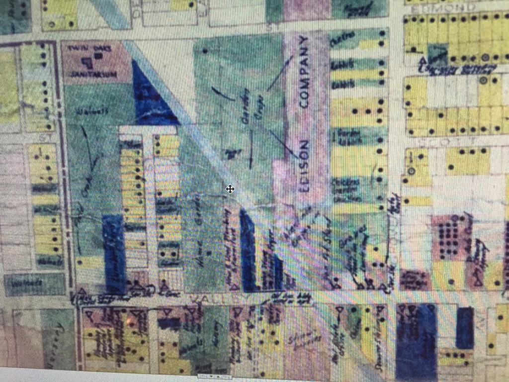
Of interest is the land where Wells School (now Emma W. Shuey) now stands. It once belonged to Paul D. Williams and this property was sold to the Rosemead School District in 1950. It was a large field for garden crops.
The property next to the school (west side), in the late 1950s, was a horse ranch. In 1966, the school district bought the ranch parcels from Earl Stanley and Monte E. Clarke. Today, it is a parking lot. The Stanley kids Sandi and Steve attended Wells School and later graduated from Rosemead High School. There were several houses across the street from the school which were being built at the time the school was under construction. The houses further towards Delta were built circa 1946–1947.

Wells School was named for the street where it was located on. Russell W. Wells (1867–1946) of San Gabriel sold and subdivided his farm property prior to 1920 and the city named a street after him. It was a common practice to name a street after prominent local families. The boundary between San Gabriel and Rosemead is the present day wash on the corner of Wells/Delta Avenue. When the area around the school was developed, the road was paved and became a continuation of Wells Street until it intersected with Walnut Grove Avenue.
The Edison Company took a chunk of land next to the school for power lines in 1922. It was planted in garden crops. All along Walnut Grove, rural families raised chickens and rabbits, and had fruit orchards, hay fields, and gardens.